The Three Ways Out of Safety Harbor, and Why Only One Works Right Now
Turn left out of Safety Harbor and you're at Anne's Beach in under two minutes. Turn right and a few miles up you'll hit Robbie's, where the tarpon still gather under the dock the way they have since 1976. Head out on the water yourself and, if you time the tide right, Indian Key sits about a mile offshore, an eleven-acre island where nobody lives and the streets of an 1830s settlement still run through the brush. Three ways to the water, all within a few minutes of the same stretch of Lower Matecumbe. This summer, access details vary by location. Here's a mile-by-mile look at what each option offers.
Anne's Beach at mile marker 73.5 earns its reputation honestly. The park stretches for about a quarter mile along the Atlantic, and the shallow water runs out far enough that you can wade a hundred yards and barely wet your knees, which is exactly why it's the beach every family with small kids gets pointed toward. The boardwalk winds through mangroves with covered picnic tables along the way, and it's free, open sunrise to sunset, with restrooms at the north lot.
None of that has changed. What's changed is how many people know it. Local paddling guides now warn that parking fills by 8 a.m. on weekends, which means the free public beach closest to Safety Harbor is only free if you're willing to show up before the coffee's finished. For a resident who just wants an hour on the water before the day gets away from them, that's a real cost, even if the entrance fee stays at zero.
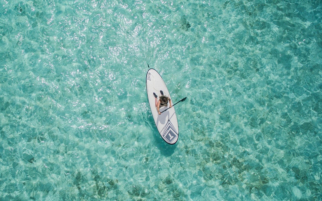
A few hundred yards north of Anne's Beach, at mile marker 74, oceanside, there's a narrow strip of shoreline that doesn't show up on the tourist maps and has no parking lot, no restroom, and no name on any highway sign. Locals call it Sea Oats Beach, and it's the put-in Safety Harbor residents actually use when Anne's Beach lot is full. The flats here are just as shallow and just as good for a kayak or paddleboard launch, and because there's nothing to draw a passing car off the highway, it stays quiet even on a Saturday morning when Anne's Beach two minutes south is packed.
The tradeoff is that you're on your own. There's no lifeguard, no bathroom, and no dock. You park on the road shoulder, which means being careful not to block the narrow stretch of US 1 that runs past it, and you bring everything you need with you. It's a better spot for wading and kayak fishing than a long paddle, best worked at the higher tides, with an eye kept on open-water wind. For a resident who already knows the tide charts and just wants water access without a production, it's the better trade nine days out of ten.
Getting to Indian Key itself is a different exercise entirely, and it starts at Robbie's Marina, four miles up the highway at mile marker 77.5. Robbie's has been the classic launch point for the crossing for decades, and the paddle from there to the island is roughly a mile of open, shallow water, best attempted in the morning before the afternoon wind builds and the channel current picks up. Once you land, at the marked kayak spot on the island's south side, the entry fee is $2.50 per person, there's no restroom on the island, and boaters arriving by motor are required to tie up at a mooring ball rather than anchor. What you get for that is a 0.6-mile walking loop through the ruins of the 1830s wrecking village that made Indian Key the first major settlement in the Keys beyond Key West, with the paths still cutting through the same footprint the town left behind.
The wrinkle this year is at Indian Key Fill, the boat ramp just north of Robbie's, near mile marker 78 that trailer-boat owners have historically used to launch straight at the island. It went down for repairs back in June, and it's the kind of ramp that tends to sit closed for extended stretches once it does go down. If you're launching a boat rather than a kayak, that means routing around to Founders Park or East Ridge Road instead, both a longer drive than the ramp locals are used to. Paddlers headed out from Robbie's aren't affected the same way, but anyone who normally trailers a boat straight to Indian Key Fill should call the Village of Islamorada before making the drive, since ramps like this one have a habit of staying down well past their first repair estimate.
Here's how the three options actually compare if you're deciding where to put in this month:
| Launch Point | Mile Marker | Cost | Facilities | The Catch Right Now |
|---|---|---|---|---|
| Anne's Beach | 73.5, Oceanside | Free | Restrooms, picnic pavilions | Lot fills by 8 a.m. weekends |
| Sea Oats Beach | 74, Oceanside | Free | None | No parking lot, roadside only |
| Robbie's Marina | 77.5, Bayside | Kayak rental fee | Restaurant, restrooms, gift shop | Best for the mile crossing to Indian Key |
If you haven't been up to Robbie's in a couple of months, it's worth a quick update before you plan a stop there. Local 10 reported that the Hungry Tarpon, the waterfront restaurant that sits over the tarpon dock, received an emergency closure order from Florida's Department of Business and Professional Regulation on June 18 after inspectors found rodent droppings and insect activity during a complaint-based inspection. It was one of several Keys restaurants ordered shut that week for similar reasons.
The restaurant wasn't on the list of places still closed when regulators followed up, which means it completed the required cleanup and passed its callback inspection. Reviews posted through July and into August describe it back to its normal rhythm, breakfast starting at 6:30 in the morning, the tarpon still gathering under the dock, Tuesday trivia nights still running. For residents who treat Robbie's as a launch point rather than a destination, the restaurant's kitchen troubles never touched the marina or the water access itself. But if you'd written the place off after seeing the June headlines, it's worth knowing that chapter closed weeks ago.
None of these three routes is objectively the best. What a Safety Harbor address buys you is the option to pick whichever one fits the morning. If Anne's Beach lot is already full when you drive past on a Saturday, you don't have to give up on the water, you turn around and pull onto the shoulder at Sea Oats instead. If you want the full crossing to Indian Key, you know now that Robbie's is still the right launch and the ramp closure up the road doesn't touch you unless you're the one trailering a boat. And if a friend mentions the Hungry Tarpon closure like it's still an open question, you're the one who can tell them it isn't.
That flexibility is part of living here, beyond what a visitor guide can capture. Living four miles from all three of these access points means the calculus changes weekly, sometimes daily, and knowing which door is actually open this month is the difference between a wasted morning and an hour on the water before the heat sets in.
If you're weighing a move to this stretch of Lower Matecumbe, or you already call Safety Harbor home and have questions about what's changing nearby, Alina Davis has spent decades tracking these details from the ground, not from a search results page. Let's Connect.
This article is general information, not legal, tax or financial advice. Consult a qualified professional about your situation.

Whether you're searching for your perfect Keys escape, investing in a vacation rental, or selling a slice of paradise you've loved for years, my goal is always the same: honest guidance, strong advocacy, and a seamless experience from start to finish. The Florida Keys isn't just real estate — it's a lifestyle, and I'm here to help you find your place in it. I would be honored to help you take that next step toward sun, water, and everything the Keys has to offer.