Safety Harbor Beyond the Median: What the MM 74 Canals Actually Buy You on Lower Matecumbe
Two houses on the bay side of Lower Matecumbe can share a street, a floor plan, and a builder, and still trade seven figures apart. The gap is almost never about the kitchen. It is about which bridge your boat can clear, how many feet of water sit under your dock at mean low tide, and whether the Village of Islamorada has your canal on its restoration list.
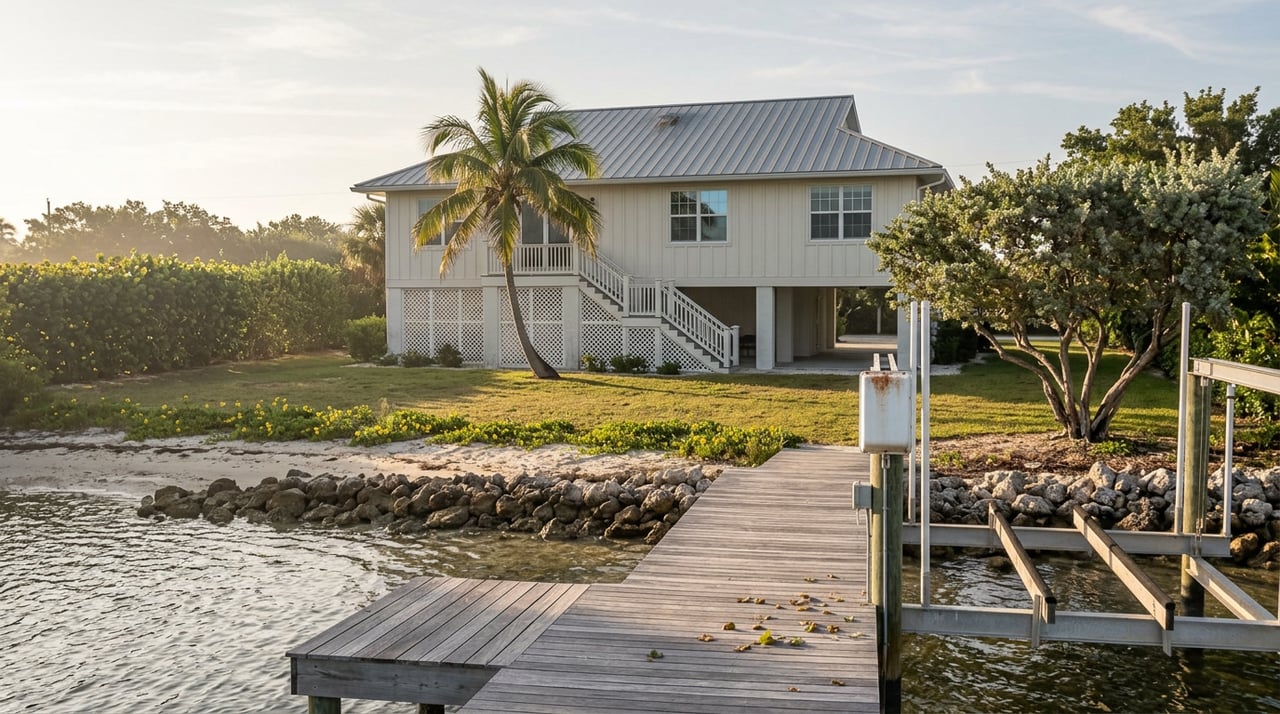
Safety Harbor sits near mile marker 74 on the bay side of Lower Matecumbe Key, inside the incorporated Village of Islamorada. The property owners' association leans into the "Sportfishing Capital of the World" framing for a reason: the pocket was engineered for larger boats than most Islamorada canals can hold. That is the premium. But the premium is a bundle, and the bundle is not evenly distributed across the neighborhood.
The single most important thing to understand about a Safety Harbor address is that it puts you within a short run of two very different exits to the ocean. Channel Two and Channel Five bridges are minutes away, and each imposes a different constraint on the boat you can keep behind the house.
Channel Five is the unrestricted option. High-clearance span, no air-draft anxiety, and the way most owners of larger center consoles or express boats exit to Hawk Channel. Channel Two is the shorter path from most of Safety Harbor, but it is a low fixed bridge. Owners on The Hull Truth have reported roughly 8 feet 4 inches of clearance on typical T-top boats, with a 34-foot SeaVee squeezing through with about six inches to spare at high tide, and a Conch 27 with open-array radar clearing comfortably. Outrigger bases and antennas frequently reset that math.
The practical reading: if the boat you actually want to own can only clear Channel Five, you are paying for the location but not using its shortest asset. If your boat clears Channel Two, you gain a real time-and-fuel advantage on the way to the reef, and the resale pool for your home widens to include the buyers who want that same efficiency.
Safety Harbor is marketed on "deep-water canals," and the phrase is accurate in relative terms. Islamorada as a whole has over 170 miles of canals across the Florida Keys, with the Village itself containing 64 canals totaling roughly 24 miles, most of them dredged in the 1950s and 1960s. Depths vary block to block, and controlling depth from the dock to open water matters more than the number on the listing sheet.
Before an offer, verify:
The Village code sets a floor for new work. Village code generally requires perpendicular T or L style docks and sets minimum terminal depths, often 4 feet at mean low water, with additional protections over seagrass. That is the minimum for permitting a dock today. It is not a promise about what a legacy dock in a legacy canal will hold at the next spring low tide.
The most consequential local development for Safety Harbor and the surrounding Lower Matecumbe canals is not a listing. It is a public works project most buyers have never heard of.
A pair of dead-end canals on Lower Matecumbe Key are being restored through an $8.9 million project, with LPS Contracting installing culvert pipes beneath Sandy Cove Avenue to hydrologically connect canals 155 and 157. The work involves multiple 4-by-4-foot box culverts placed side by side under Sandy Cove Avenue about 500 feet down from U.S. 1, with the aim of restoring water quality and increasing tidal exchange with nearshore waters. Village environmental resources manager Peter Frezza has led the permitting and grant work.
The reason this matters for pricing is that the Sandy Cove work is one phase of a larger effort to connect all dead-end canals on the southern end of Lower Matecumbe, with the Village seeking to implement similar culvert connections for canals 150, 151, 152, and 155. Dead-end canal homes have historically traded at a discount to open-water homes because of poor circulation and drift algae. A funded, permitted plan to fix that discount is a repricing event in slow motion. Ask which canal number your target address sits on, and ask where that canal falls in the Village's queue.
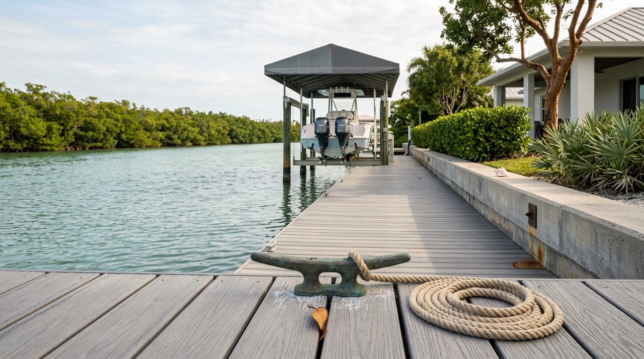
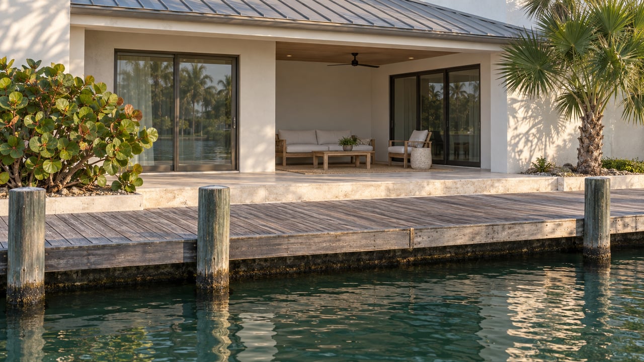
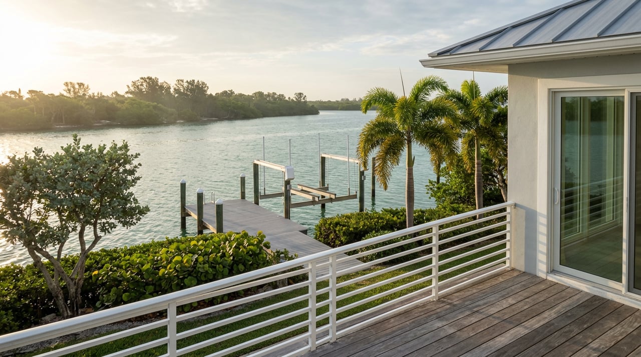
Transaction friction in Safety Harbor tends to surface late, and it tends to involve the dock. Village records will show whether the existing structure, lift, and davits were permitted and inspected, and what the code would allow for a replacement. Many older docks in the Village predate current setback and terminal-depth rules. A structure that is grandfathered as-is may not be replaceable at the same footprint if a hurricane takes it out.
Buyers who plan lift or davit upgrades should confirm what the current code will allow at that specific waterway before removing a contract contingency. Sellers who cannot produce clean permit history should expect a longer diligence period and, in some cases, a re-trade at closing.
Islamorada as a whole is running a market that punishes people who read only the headline. In March 2026, Islamorada home prices were up 52.6% compared to a year earlier, selling for a median of $1.4 million, with homes selling after an average of 161 days on market compared to 191 the prior year, and 25 homes sold in the month versus 24 the year before. Meanwhile, the Zillow Home Value Index for Islamorada sat at $1,426,988, down 3.1% over the past year.
Both are true. The Redfin cut captures a small sample of higher-end sales pulling the median up. The Zillow index tracks a broader universe of properties, and it is drifting down. For Safety Harbor specifically, that split matters: this is a pocket where the top of the market is very much what closes, because the buyer pool is a narrower cohort chasing the bundle of deep water, larger dockage, and short bridge runs. When those buyers hesitate, transaction volume falls before price does. When one of them commits, the print looks anomalously strong.
For two comparable houses at MM 74, the price gap tends to follow a predictable order:
The kitchen finish and the pool coping matter last. They are the easiest things to change and the least likely to move a serious buyer off a well-positioned dock.
Is Safety Harbor part of the Village of Islamorada or unincorporated Monroe County? Safety Harbor sits within the incorporated Village of Islamorada, on Lower Matecumbe Key near mile marker 74. That means Village code, permit portal, and the Village's canal restoration program govern the neighborhood, not county rules alone.
Is the Safe Harbor marina at MM 80.5 the same as the Safety Harbor neighborhood? No. The marina is a separate facility roughly six miles up the highway. Safe Harbor Islamorada provides access to Yellow Shark Channel and the Gulf of Mexico, with the on-site restaurant Square Grouper. The residential neighborhood at MM 74 is unrelated to the marina brand.
How do I find out which canal my target house sits on? The Village maintains a canal inventory and restoration list on its Canal Restoration page. Cross-reference the canal number with the current restoration queue before you write an offer, especially if the house sits on a dead-end pocket that could benefit from a culvert connection.
What is a realistic controlling depth to plan around? Depths vary block to block. As a reference point, Founders Park's Plantation Yacht Harbor Marina reports a controlled depth of about 5 feet, which is a useful benchmark for sizing a boat against local conditions. Your own canal may be deeper or shallower. Get current soundings.
If you are working through Safety Harbor listings and trying to separate the houses that carry the full MM 74 bundle from the ones that only look like they do, that is the conversation to have before an offer. Alina Davis has been reading these canals since 1982. Let's Connect.

Whether you're searching for your perfect Keys escape, investing in a vacation rental, or selling a slice of paradise you've loved for years, my goal is always the same: honest guidance, strong advocacy, and a seamless experience from start to finish. The Florida Keys isn't just real estate — it's a lifestyle, and I'm here to help you find your place in it. I would be honored to help you take that next step toward sun, water, and everything the Keys has to offer.